Oak Hill Stream Channel Restoration
Williston, Vermont
DuBois & King conducted hydrologic modeling of the watershed above an incising stream channel that had been straightened and lined with rock during highway construction. Working for the Winooski Natural Resources Conservation District, D&K used LiDAR elevation data and ArcView GIS to delineate subwatersheds and define flow paths, and confirmed the information with a detailed watershed reconnaissance. The modeling showed that additional impervious surface in the watershed would have little impact on the total volume of water delivered to the stream. However, the roadways in the watershed altered natural flow paths and resulted in a significant increase in the volume of water delivered to the stream channel.
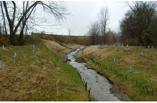
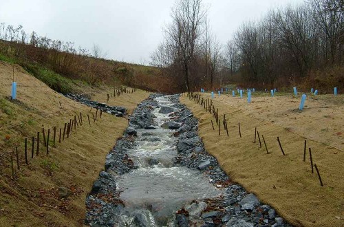
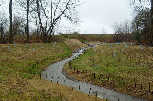
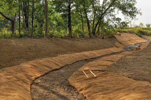
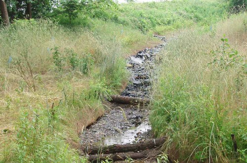
The results of the hydrologic analysis were used in the design of a new stable stream channel. The channel was sized to accommodate the predicted bankfull flow and access to the adjacent floodplain was maintained or restored where existing infrastructure allowed. The design blended hydraulic engineering principles and natural channel design principles to achieve a channel with dimensions, slope, sinuosity, and material that are appropriate for the setting and stable over time. Services included preparation of bid and contract documents, permitting assistance, and construction inspection.

