Slope Stabilization for NRCS
Various Locations, Vermont
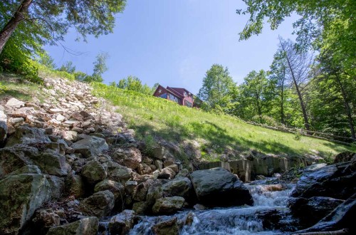
Under an on-call contract with the USDA Natural Resource Conservation Service, D&K conducted geotechnical engineering and design of slope stabilization measures for four projects in central and southern Vermont. D&K’s work included field investigations, slope stability analysis, preparation of engineering plans and technical specifications and engineering assistance during construction. The work included coordination with property owners, state and federal regulatory agencies, permitting and cost estimating. Projects included:
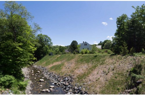
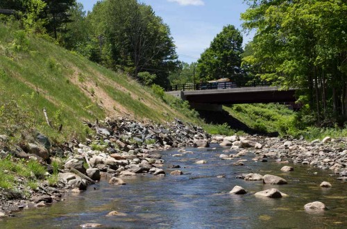
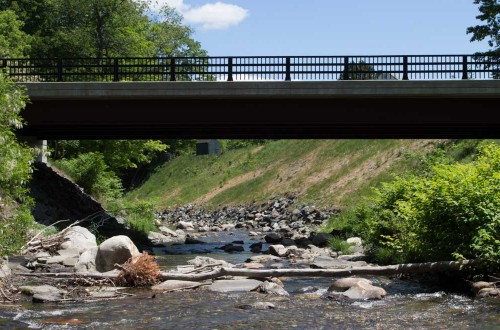
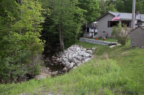
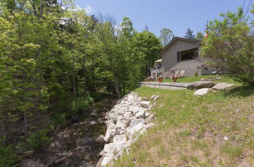
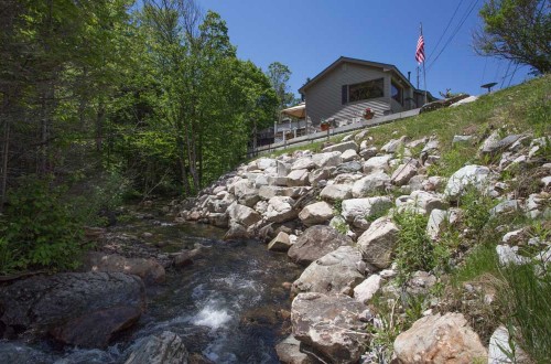
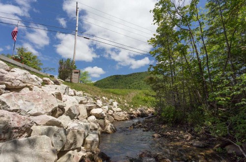
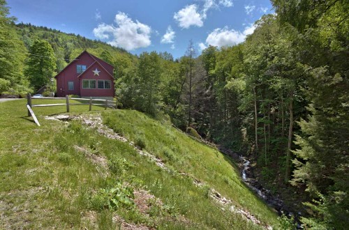
Brattleboro, VT. 35-ft-high, 250-ft-long slope that failed during T.S Irene. The solution was a heavy stone fill slope keyed into the bottom of the river.
Jamaica, VT. 24-ft-high, 85-ft-long slope that failed during T.S Irene. Solution was a concrete block toe wall keyed into the bottom of the river with a heavy stone fill slope supporting the upper portion of the slope.
US Route 4, Mendon, VT. 20-ft-high, 70-ft-long slope that failed during T.S Irene. Solution was a heavy stone fill slope keyed into the river bottom with a concrete block head wall supporting the upper portion of the slope.
Stockbridge, VT. 35-ft-high, 80-ft-long slope that failed during T.S Irene. Solution was an open concrete block toe, pinned to bedrock to provide toe resistance and aquatic habitat, and a heavy stone fill slope to provide stability to the slope.

