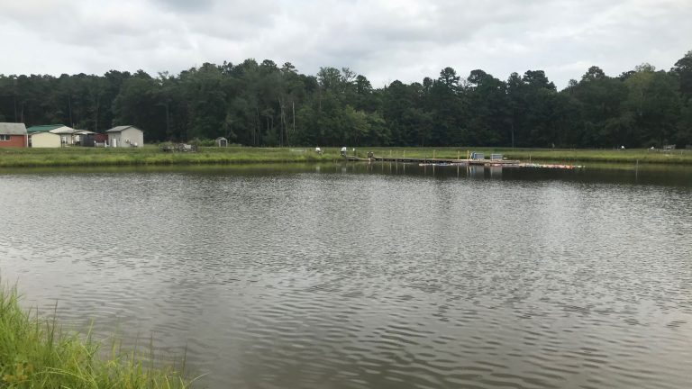
Geodetic Leveling at SMIAs
At a range of Salt Marsh Integrity Areas (SMIAs) along the East Coast, the US Fish and Wildlife Service studies storm and climate change impacts to coastal wetlands using elevation data as one metric. Following Hurricane Sandy, FWS identified 10 locations that required additional survey control benchmarks. D&K inventoried and visited each site, performed geodetic…