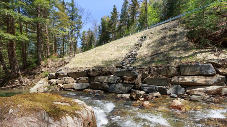
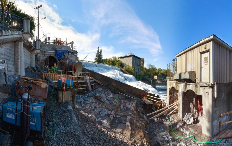
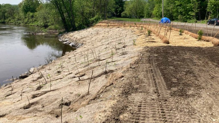
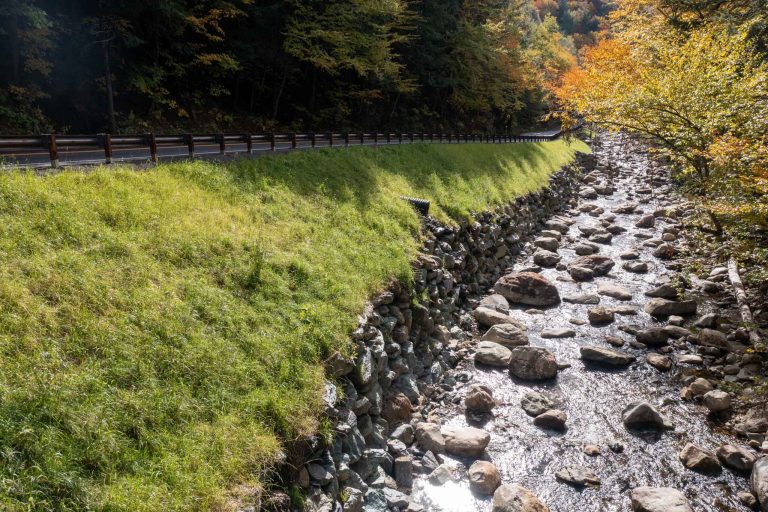
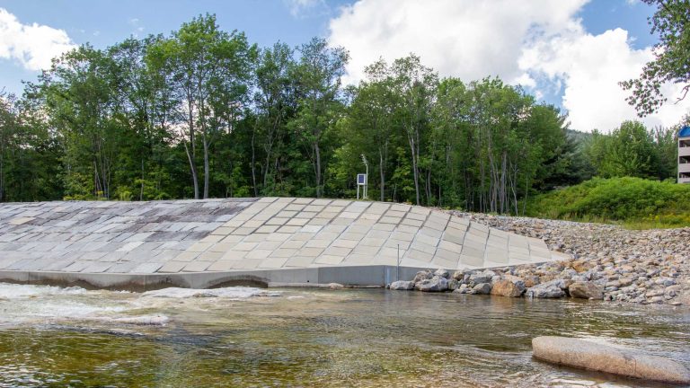
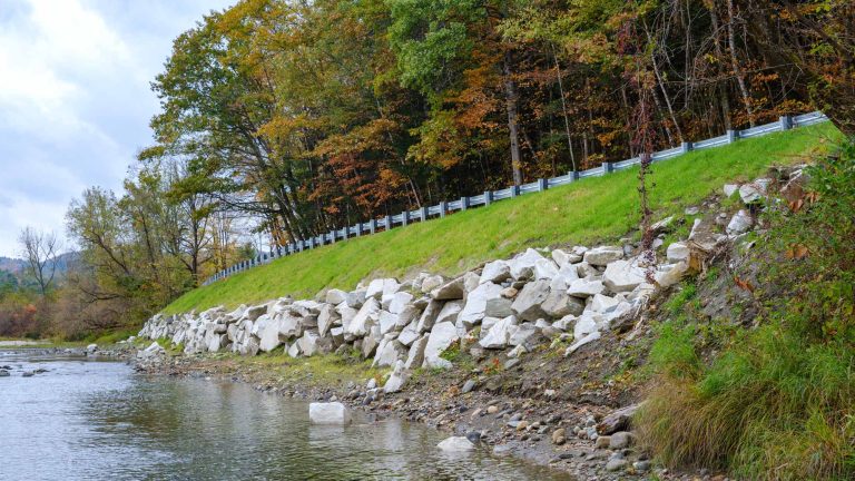
Water Resources

  • Peavine Road Slope

    A 200-ft-long by 20-ft-high town roadway embankment was destabilized by scour from the White River from spring snow melt and a storm event. The Town of Bethel applied for and received FEMA funding and engaged D&K to evaluate, survey, design, and provide permitting assistance and construction phase services for repairs to the slope and the…

  • Plunkton Road Bridge

    A large storm event overwhelmed the Plunkton Road Bridge. The bridge was damaged but stable enough to keep open until a new structure could be designed and constructed. D&K assessed the damage, surveyed the site, and provided the town with an evaluation of several options to replace the bridge. The project team also assisted with…

  • Dunklee Road Bridge

    The Town of Bow needed to replace a 20-ft, rigid-frame culvert with inadequate scour protection, foundations, and geometry. The roadway serves heavy truck traffic and intersects with NH 3A, a state highway frequently used to bypass a tolled section of I-93 near the Interstate I-89 intersection with I-93. D&K designed a replacement structure to address…

  • Ryegate Buried Structure

    The Vermont Agency of Transportation had to replace a buried water conveyance structure that was (hydraulically) undersized and causing the rail and roadway embankments to act as a dam during moderate and large storm events. Located 70 feet below grade in some places, the existing system of metal pipes and concrete structures was in poor…

  • Bull Run Slope Stabilization

    Bull Run Road, a two-lane residential road abutting a perennial stream, underwent a slope failure during a large storm event. Heavy stream flows scoured the toe of the roadway embankment causing the roadway slope to fail and restrict capacity to one lane. The Town of Roxbury secured FEMA funds to evaluate the situation and implement…

  • Vergennes 9B Upgrades

    The Vergennes 9B Hydroelectric facility is a historic hydroelectric plant on the Otter Creek centrally located in downtown Vergennes. Its penstocks were nearing the end of their service lives, and the facility was in need of reconfiguration and operational improvements. D&K worked with the client to design new penstocks and reconfigure the powerhouse to significantly…

  • Gooseneck Bend Slope

    Along Otter Creek, a 160-ft-long, 20-ft-high slide occurred on the Gooseneck Bend Road embankment, disrupting the roadway’s stability. The Town of Weybridge secured FEMA funding and engaged D&K to evaluate the failure and design long-term improvements that armored the embankment along the roadway using stone armoring and plantings, stabilizing the immediately adjacent gravel road.  

  • VT 125 Slope Stabilizations

    Swollen by a large storm event, the Middlebury River and local drainages damaged VT 125 in Ripton. The highway was temporarily repaired in the weeks immediately following the storm, but long-term repairs were sorely needed. The project environment consisted of steep roadway embankments immediately adjacent to the Middlebury River. High water velocities and a sinuous…

  • Lincoln Levee Repair

    In response to repeated storm damage to this 1,900-ft-long, circa 1960s Army Corps granite block protection levee, the Town of Lincoln needed to repair the levee to maintain an acceptable level of service. DuBois & King evaluated the structural, hydrologic and hydraulic, civil, and structural conditions and requirements of this site along the Pemigewasset River….