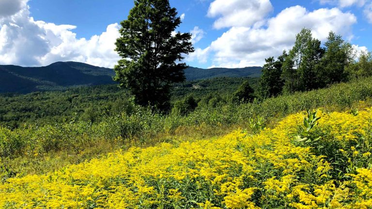
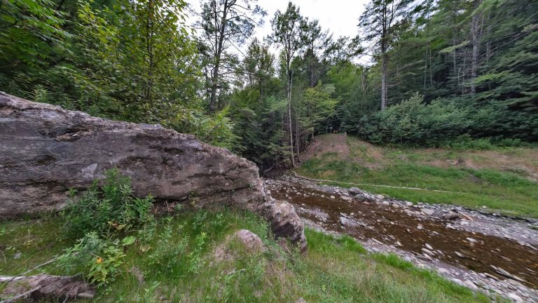
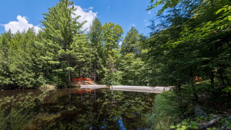
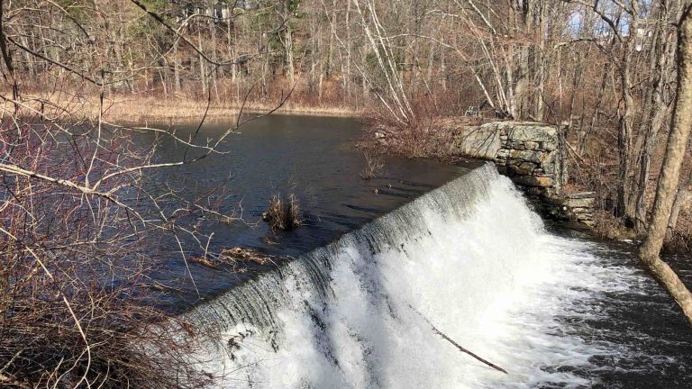
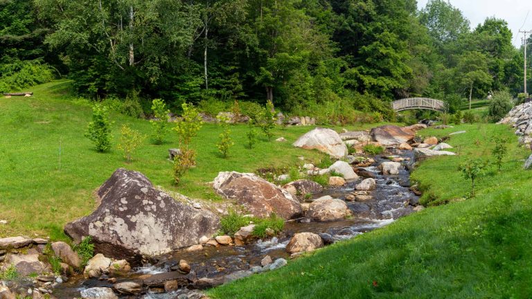
Natural Resources/Wetlands

  • Sweet Pond Dam

    Sweet Pond Dam is a 20-ft-high by 77-ft-long circa-1928 dam that impounds an 18-acre pond with a contributing drainage area of approximately 1 square mile. The dam sustained uncontrolled and excessive seepage through highly fractured and weathered bedrock and posed a barrier to AOP. D&K provided planning, evaluation, alternatives analysis, preliminary and final design, permitting…

  • Smugglers’ Notch Parking

    Near Mt. Mansfield, Vermont’s highest peak, a 1.5-mile section of VT 108 traverses a mountain pass at 2,165 ft and provides trailhead access for the Long Trail, local crags, and other day-use areas. Increased use of the area led to on-street and off-street informal parking that, in turn, led to environmental, drainage, and safety issues….

  • Rangeley Stephen A. Bean Municipal Airport

    Under a multi-year contract and an expedited schedule, DuBois & King provided guidance on planning, technical, environmental, and regulatory issues. Projects under this contract included a Capital Improvement Plan update, technical master plan update, runway extension, hangar area development, terminal apron expansion, Environmental Assessment, construction of a full parallel taxiway, snow removal equipment acquisition, a…