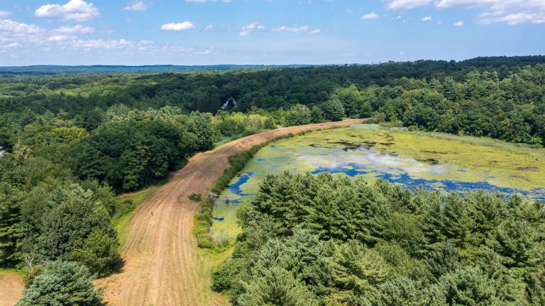
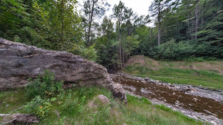
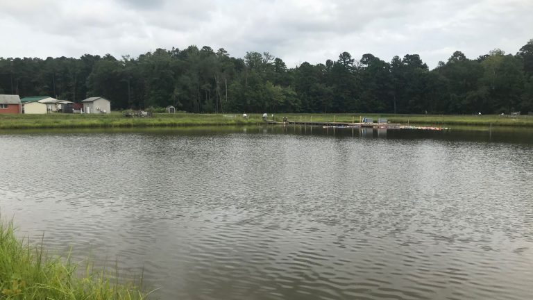
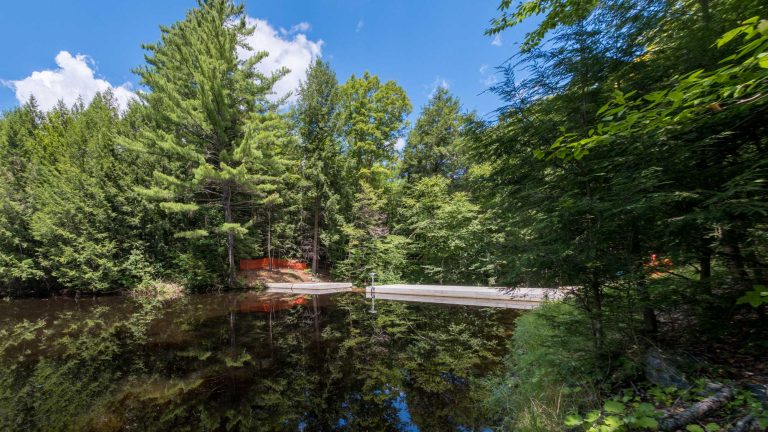
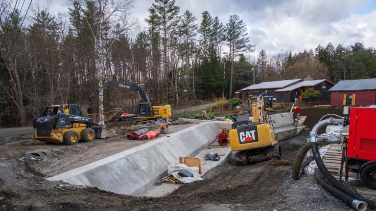
Water + Dams + Hydro

  • Sweet Pond Dam

    Sweet Pond Dam is a 20-ft-high by 77-ft-long circa-1928 dam that impounds an 18-acre pond with a contributing drainage area of approximately 1 square mile. The dam sustained uncontrolled and excessive seepage through highly fractured and weathered bedrock and posed a barrier to AOP. D&K provided planning, evaluation, alternatives analysis, preliminary and final design, permitting…

  • Peavine Road Slope

    A 200-ft-long by 20-ft-high town roadway embankment was destabilized by scour from the White River from spring snow melt and a storm event. The Town of Bethel applied for and received FEMA funding and engaged D&K to evaluate, survey, design, and provide permitting assistance and construction phase services for repairs to the slope and the…

  • Plunkton Road Bridge

    A large storm event overwhelmed the Plunkton Road Bridge. The bridge was damaged but stable enough to keep open until a new structure could be designed and constructed. D&K assessed the damage, surveyed the site, and provided the town with an evaluation of several options to replace the bridge. The project team also assisted with…

  • Dunklee Road Bridge

    The Town of Bow needed to replace a 20-ft, rigid-frame culvert with inadequate scour protection, foundations, and geometry. The roadway serves heavy truck traffic and intersects with NH 3A, a state highway frequently used to bypass a tolled section of I-93 near the Interstate I-89 intersection with I-93. D&K designed a replacement structure to address…

  • Ryegate Buried Structure

    The Vermont Agency of Transportation had to replace a buried water conveyance structure that was (hydraulically) undersized and causing the rail and roadway embankments to act as a dam during moderate and large storm events. Located 70 feet below grade in some places, the existing system of metal pipes and concrete structures was in poor…