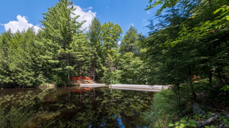
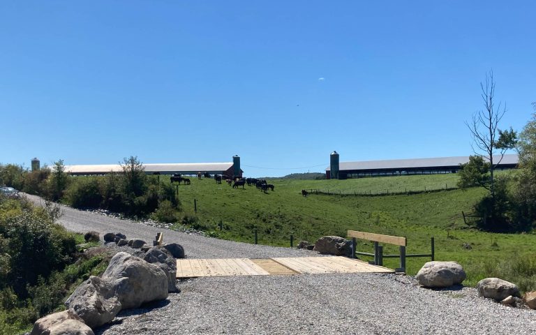
Civil+Survey

  • Sweet Pond Dam

    Sweet Pond Dam is a 20-ft-high by 77-ft-long circa-1928 dam that impounds an 18-acre pond with a contributing drainage area of approximately 1 square mile. The dam sustained uncontrolled and excessive seepage through highly fractured and weathered bedrock and posed a barrier to AOP. D&K provided planning, evaluation, alternatives analysis, preliminary and final design, permitting…

  • St. Paul Reconstruction, Great Streets BTV 

    The Great Streets BTV planning document, coauthored by D&K, represented a holistic effort to make Burlington’s downtown core more appealing for users of all modes of transportation and to enhance the area’s ability to engage its natural and cultural assets. D&K’s approach to the project incorporated the first segments of roadway designed and constructed to the Great Streets standards….

  • Peavine Road Slope

    A 200-ft-long by 20-ft-high town roadway embankment was destabilized by scour from the White River from spring snow melt and a storm event. The Town of Bethel applied for and received FEMA funding and engaged D&K to evaluate, survey, design, and provide permitting assistance and construction phase services for repairs to the slope and the…

  • Perkins Cove Seawall

    The Perkins Cove Seawall consists of a 650-ft-long timber wall constructed in 1950, later supplemented with Class VII stone blocks placed in front of the timbers (seaside). A 30-ft section of the seawall failed as a result of an ocean storm. The town sought FEMA assistance to make emergency repairs. D&K’s civil, structural, and geotechnical…

  • Smugglers’ Notch Parking

    Near Mt. Mansfield, Vermont’s highest peak, a 1.5-mile section of VT 108 traverses a mountain pass at 2,165 ft and provides trailhead access for the Long Trail, local crags, and other day-use areas. Increased use of the area led to on-street and off-street informal parking that, in turn, led to environmental, drainage, and safety issues….